Satellite image of the Mania River in Madagascar - NASA Earth Observatory image by Joshua Stevens, using Landsat data from the US Geological Survey)
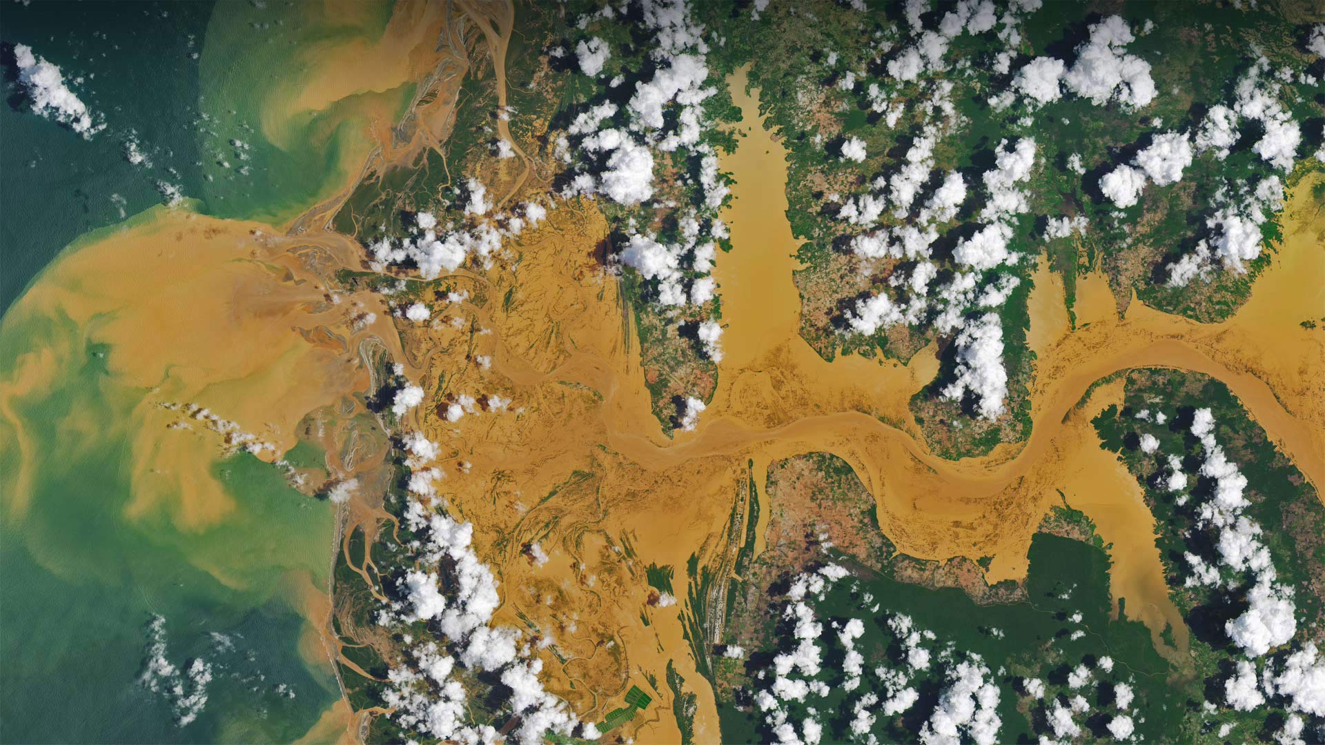
分享博客图片:Satellite image of the Mania River in Madagascar - NASA Earth Observatory image by Joshua Stevens, using Landsat data from the US Geological Survey)图片分享,每日一图每天提供不一样的风景图片,仅供参考,下载作为桌面壁纸使用